Fred Vogels Contact
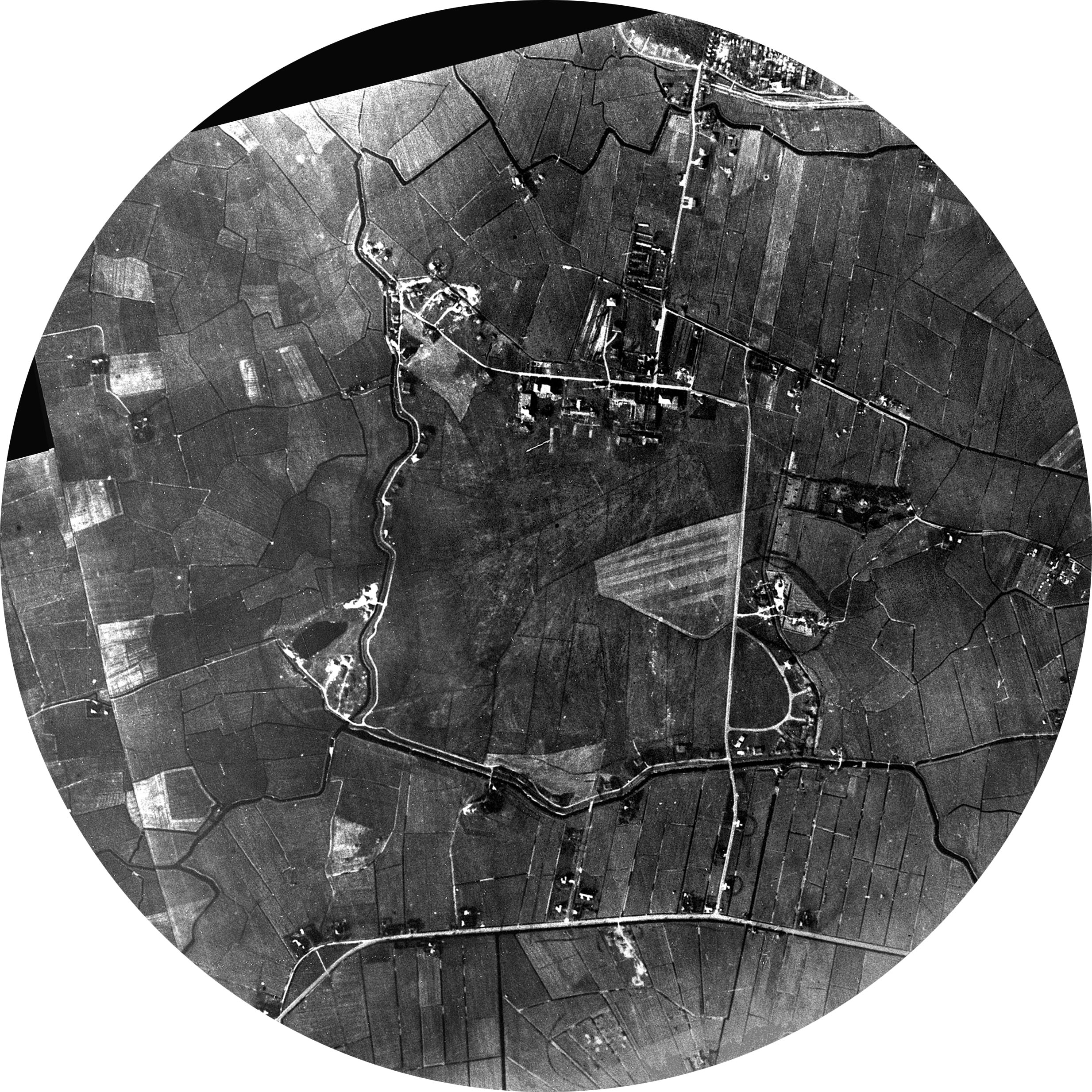
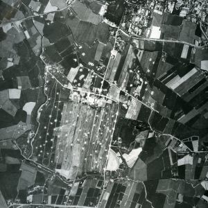
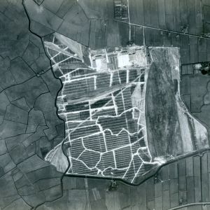
First photo: airfield is demolished by the Germans. And also bomb craters are visible by American B-17 Flying Fortresses, May 1944.
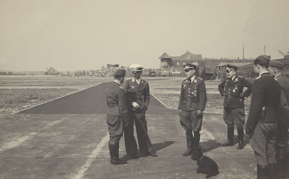
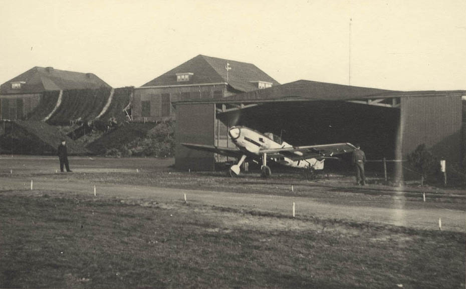
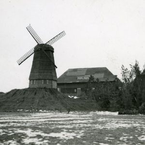
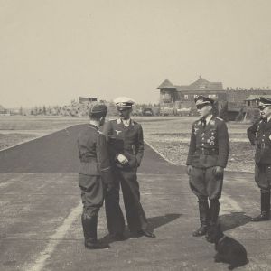
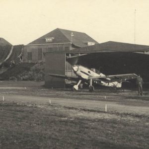
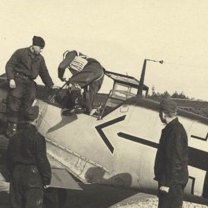
Other photos: German occupation
A new map section is now available at maps.fredvogels.com.
You can choose a location anywhere on the map and discover nearby records, names and events from the history database.
The search starts within a small radius, so the map remains useful for the visitor, not overloaded with thousands of records at once.
This message is shown only once.


